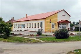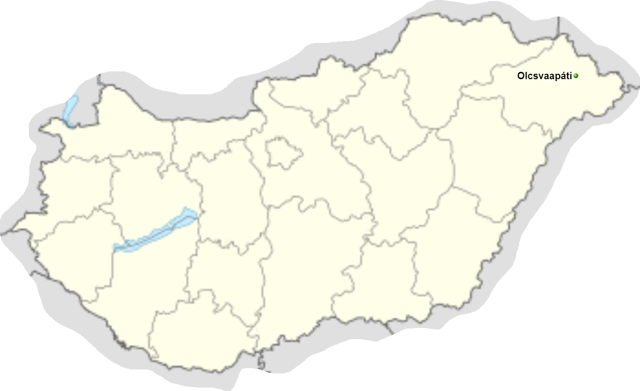

Olcsvaapáti village is located in Szabolcs-Szatmár-Bereg county. Olcsvaapáti is located in the eastern corner of Hungary, on the Sătmar Plain, in Szabolcs-Szatmár-Bereg County, a small town with perhaps the most uniform natural geographical features, one of the 49 small settlements that make up the Fehérgyarmat microregion.
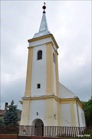
It is located on the Somes Plain, on the right bank of the river Somes, near the river Tisa. The village, located between two rivers, was often destroyed by floods, so several residential houses and agricultural buildings were built on a natural or raised hill. In the 13th century, there was a monastery at the border of Olcsva.
The monastery was destroyed during the Tatar invasion, but a village was founded in its place, which lived separately under the name Apáti until the 16th century. In 1573, it was named Olcsvaapáti after neighboring Olcsva. From the 14th to the 19th century, Apáti was the property of the Károlyi family.